The fourth dimension of route planning
You picked the route.
We'll pick the
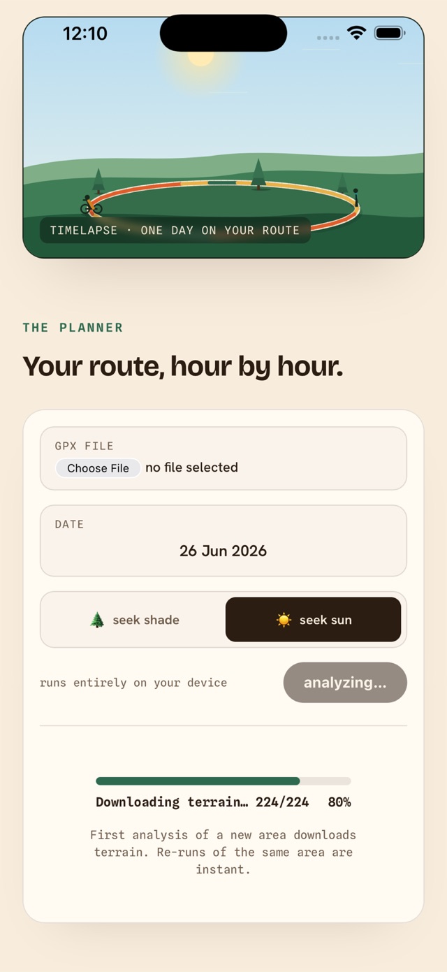
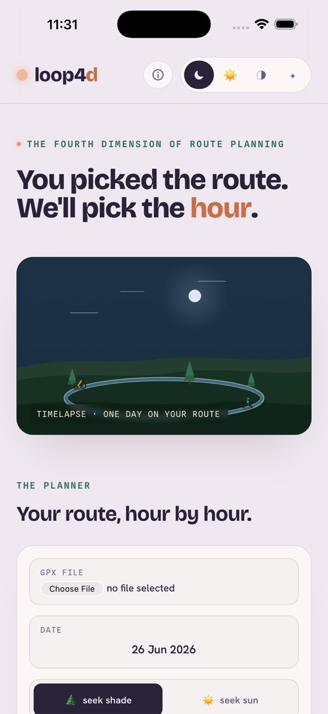
Open a GPX — or share one straight from Strava, komoot or Garmin Connect — pick a date, and loop4d walks the sun across your whole route, point by point. Shade on a hot summer day, sun in winter, wind and twilight in between.
How it works
One day of sun, walked across your route.
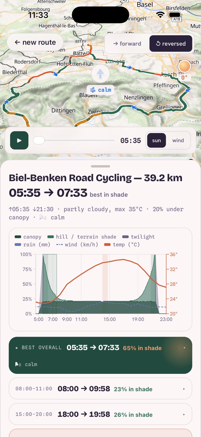
For every point of your track, loop4d works out when the sun clears the ridges, trees and buildings around you — then folds in the forecast.
Per-point sun & shade
Ridges, tree canopy and buildings, computed from open elevation data — right on your phone.
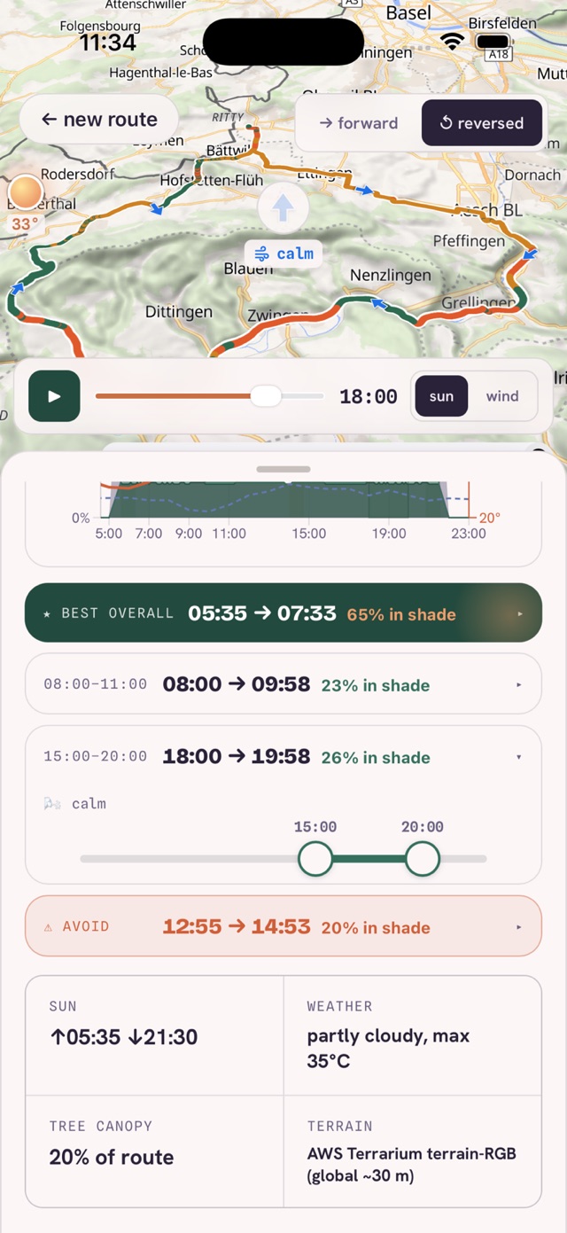
Best windows
Clear "best in shade" and "best in sun" slots for your day — and the window to avoid.
Weather & wind
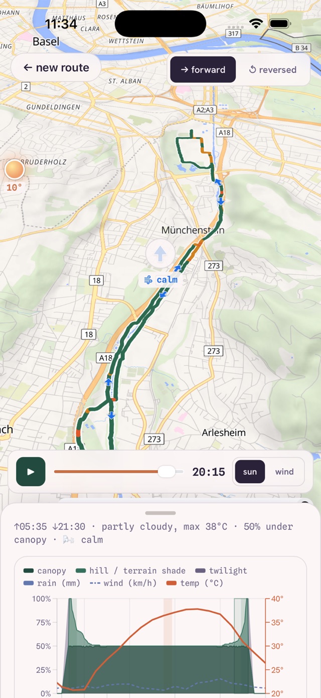
Temperature, rain, headwind and tailwind, twilight — from a live forecast for your date.
Replay
Scrub through the day and watch the route light up shade, sun and wind, segment by segment. No route handy? Grab the sample GPX.
In the app
The whole day, on one screen.
Your Strava routes, one tap away.
Connect your Strava account once and skip the GPX shuffle — then let loop4d close the loop after the ride.
Pick any saved Strava route and analyze it directly — no export, no file juggling.
When your activity lands on Strava, loop4d notifies you — tap to open it.
How much sun and shade you actually rode through — then share your ride card.
Optional — loop4d works fully without an account. Connecting uses Strava's official sign-in; disconnect any time.